Kenton and Nathan Hills Hike- Kijabe
Kenton and Nathan Hills in Kijabe are found on Kikuyu escarpment in the Great Rift Valley, Kenya. The Kenton Hill peaks at an altitude of 2500m while Nathan’s hill peak is at 2800m above the sea level.
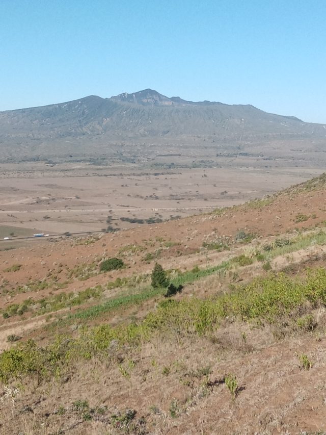
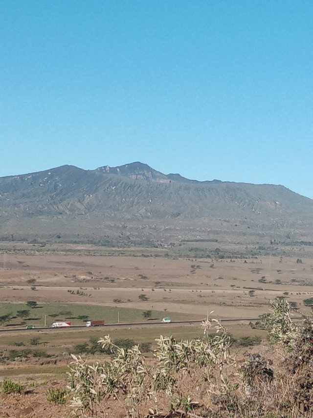
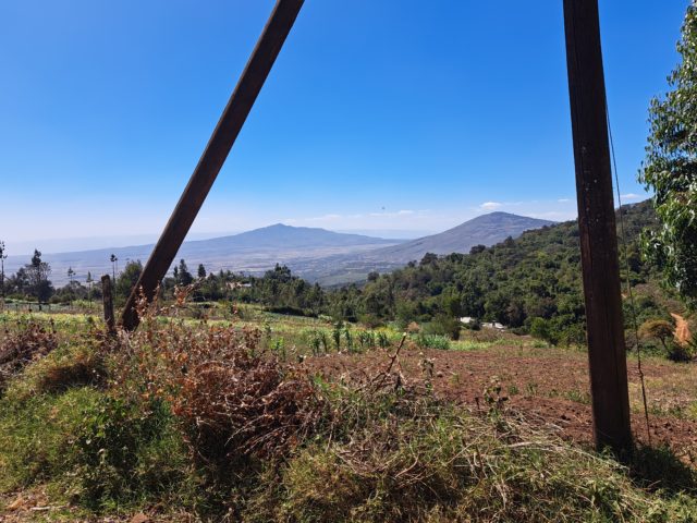
We were all set and ready for adventure as we embarked on a challenging hike through the stunning landscapes of Kijabe while Mt. Longonot was right on the background providing a beautiful view that can only be captured by our eyes and stored in our hearts.
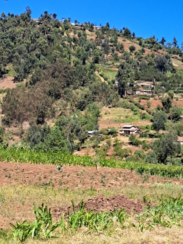
The hike starts along Nairobi-Naivasha highway, just after Mai Mahiu town, about 45 minutes’ drive from Nairobi. Kenton hill is visible from the highway and that’s where we start climbing. On the way we cross the old railway line on several occasions as we enjoy the beautiful vegetation. We go through Kijabe forest with beautiful trails like those of Karura Forest, Old Kijabe town to new Kijabe town, up sharp ascends just past Kijabe Hospital to Korio village, Mbau-ini village and then Nathan hill which shortly leads to Nairobi-Nakuru highway near Soko Mjinga.
Nathan and Kenton hill are about 14kms apart.
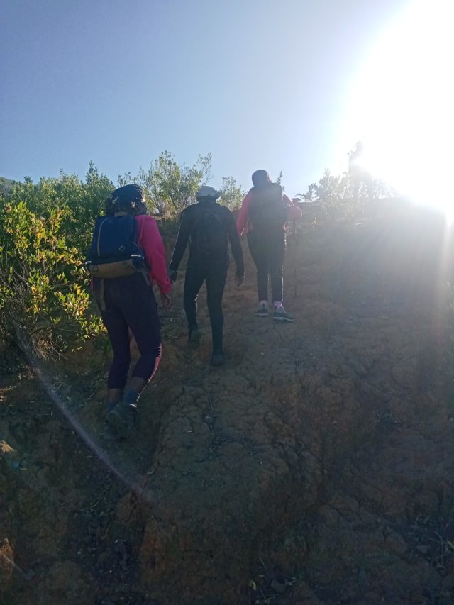
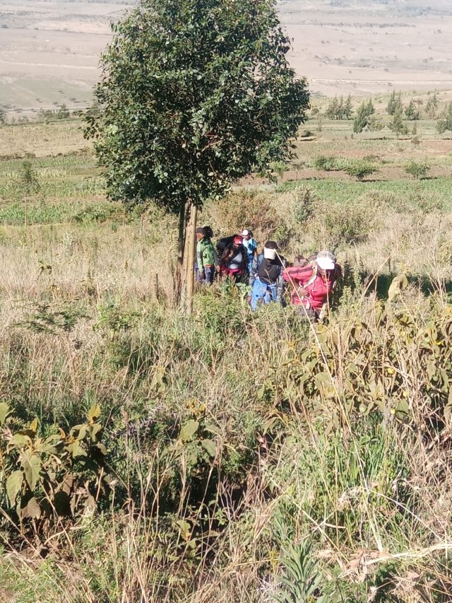
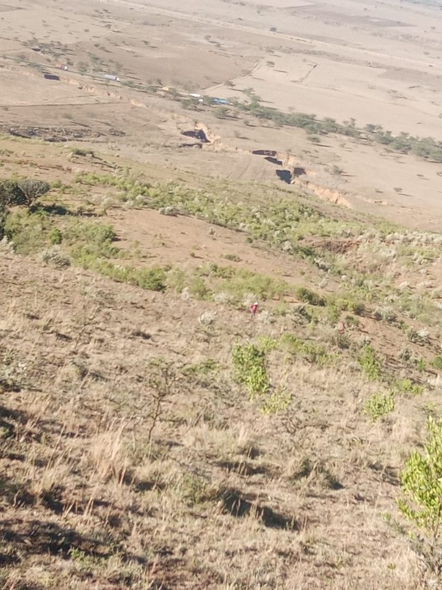
This trail is not for the faint of heart– it starts with a steep ascent immediately after we leave the highway. Along the way we cross large gulleys caused by soil erosion that in themselves, from up the hill, provides unique landscape. Since we started early the weather was very favorable with the cold morning breeze and clear blue sky.
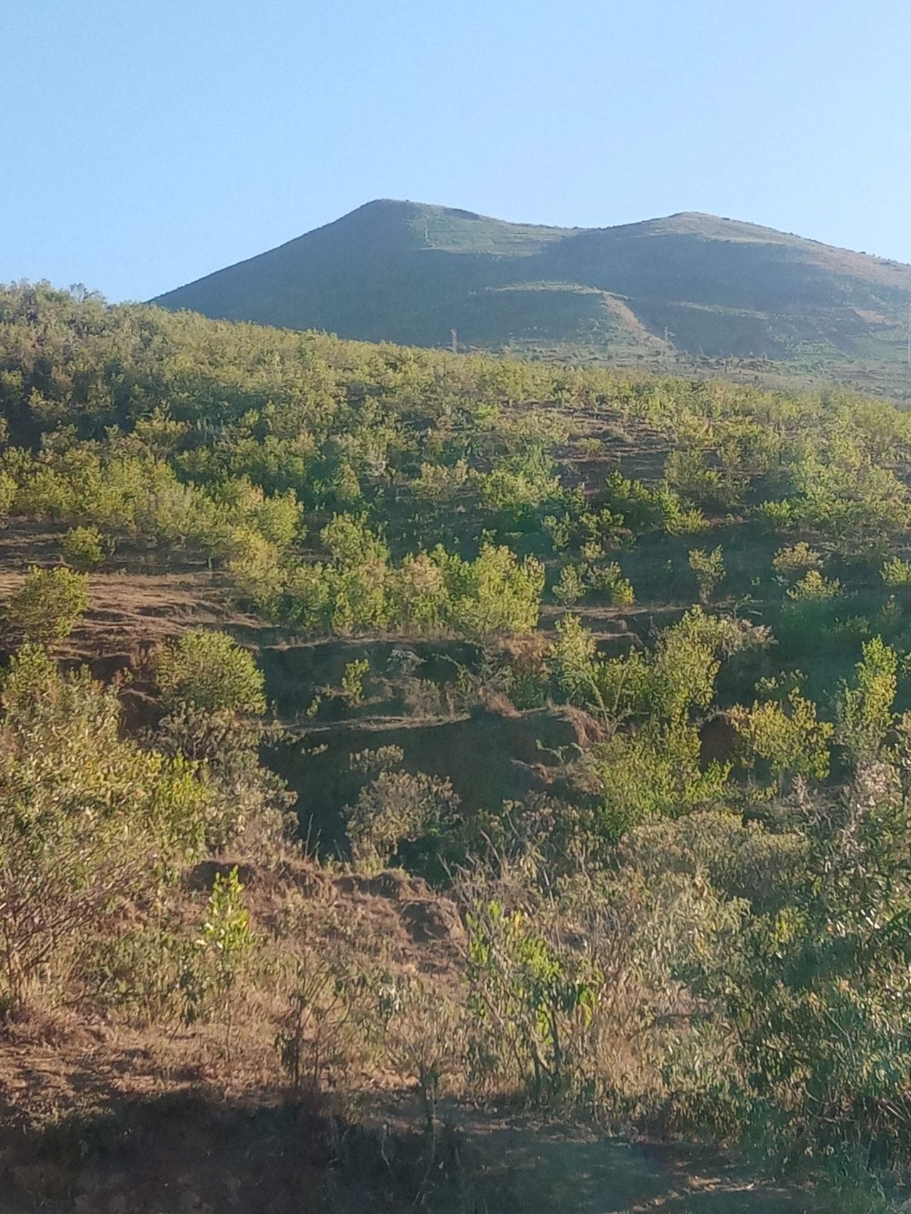
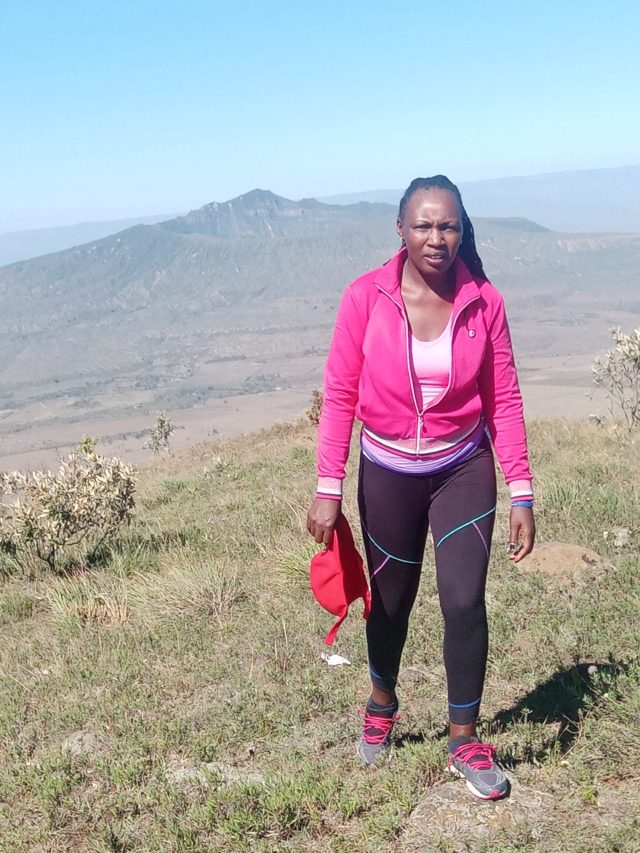
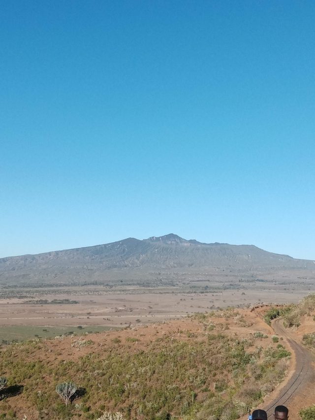
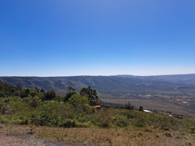
As we make our way along the route, we are tested by the demanding terrain which get slippery in some instances due to lose soil around the sections that have farming activities. But the rugged beauty of the surrounding wilderness, and the nature’s beauty full of awe was enough motivation for us to push on. But the reward for our morning effort were well worth it–at the top of Kenton Hill, where we are treated to gorgeous panoramic views of Kijabe hills, closer view of Mt Longonot, Kijabe forest, Suswa and Lake Naivasha among other beautiful landscapes in the Great Rift Valley.
The whole hike is about 22km on a very steep terrain and took us about 8 hours with enough breaks along the way.
Definitely an experience for those in search of beautiful landscapes and looking for a physical challenge.
We started at the crack of dawn when the sun was rising.
It was challenging but we kept going. The hunger for adventure and to conquer evident.
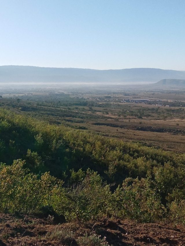
A large gulley provides its unique view from up the hill
Mt Longonot view
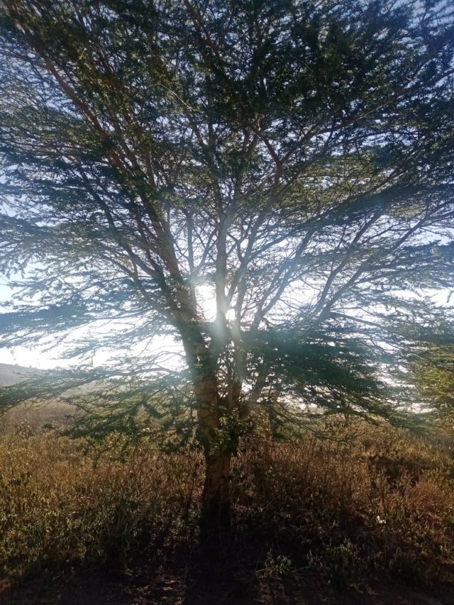
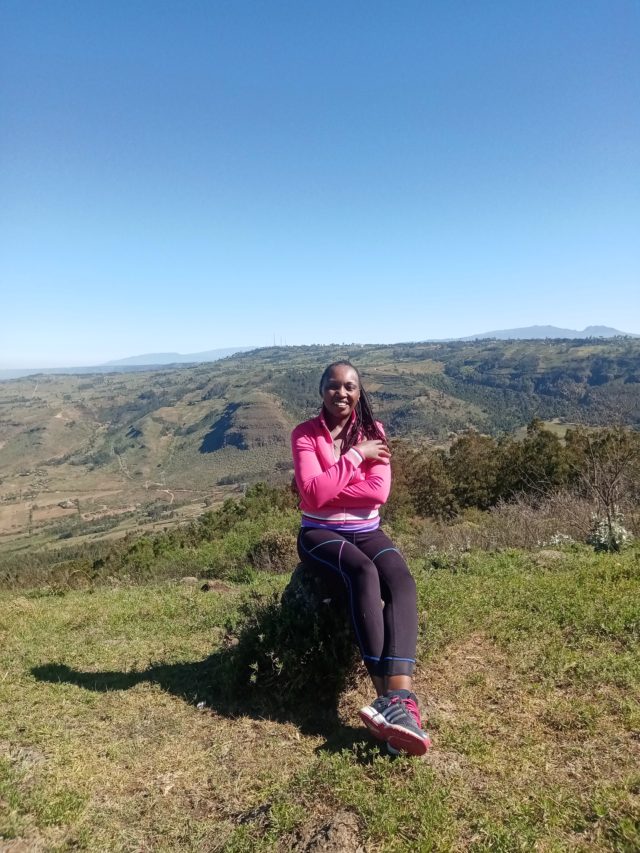
The Great Rift Valley landscapes. The hills, the forest, the valleys, the gulleys, the lake. The morning sunshine. We took it all in.
Nothing would have prepared us for the steep ascent on the Nathan hill. Yes, it’s about 1km long but rises to 2800m above sea level! And that was the climax of the hike after covering about 20km trudging uphill, downhill, across the towns and bridges and farms.